Being able to find out which routes pass through a particular corridor or serve a particular stop can help you to answer many queries such as:
- Which buses serve the hospital?
- Which routes will be affected by roadworks on this section of road?
This tutorial explains how to use the select tool to answer these questions and find out more information about the routes. A comprehensive overview of tools available for selecting routes by location is available here.
Step-by-step Walkthrough
Step 1:
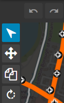
Select the select tool from the tool bar.
Step 2:
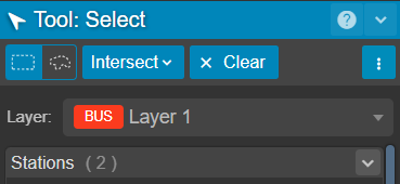
On the Tool: Select menu, set the select by rectangle toggle. ![]()
Step 3:
'Intersect' from the drop down toggle.

Step 4:
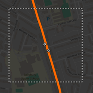
Click and drag your bounding box over the area you wish to select
Step 5:
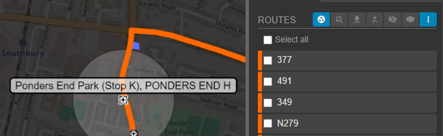
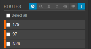
Routes that intersect this bounding box will be displayed on the Tool:Select menu. These can be clicked to reveal more information about the route.
Step 6:
Clicking an individual stop will reveal all routes that serve it.